By Julia Hopkins and Lisa Kumpf
Have you ever thought about what happens to that rain when extreme storms hit? If you call Belmont home, it ends up in the Charles or the Mystic River.
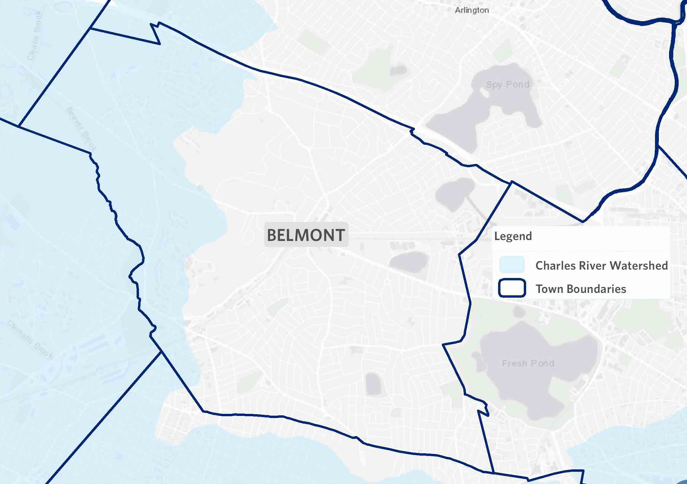
The town of Belmont is sandwiched between the Charles and Mystic Rivers, two beautiful, fragile natural resources that provide habitat for wildlife and enjoyment for humans. The town is split between the Charles River watershed and the Mystic River watershed.
Detail of a map of the Charles River watershed (blue) and Mystic River watershed (light gray). Source: Charles River Watershed Association
A watershed is a land area that channels all rain and snowmelt into ponds, brooks, and streams that drain into a single river, and eventually into a harbor, bay, or ocean. Defined by natural geography and water features, watersheds encompass much more than rivers. Even though Belmont’s boundaries are at least a mile from both the Charles and Mystic Rivers, the town is inextricably linked to them.
To the north, Alewife Brook springs from Little Pond, which is fed by streams running down Belmont Hill, then flows through Alewife Brook Reservation and the Alewife Greenway in Arlington. It enters the Mystic at the intersection of Arlington, Medford, and Somerville. To the south, Beaver Brook flows from Lexington to form the boundary of Belmont and Waltham, flowing through the preserved open space of Beaver Brook Reservation. It continues south and enters a culvert under Main Street in Waltham that drains into the Charles River.
What does it mean to live in a watershed? A raindrop falling in your backyard finds its way through these tributaries to our rivers. We all live downstream of somewhere, and our fates are collectively intertwined with the health of the waters around us.
When that raindrop falls, it might hit your roof and flow along your gutters to the drainpipe before splashing onto the ground or driveway pavement. Then that raindrop mixes with the unseen chemicals that may be on your driveway or in your yard. Bacteria from pet waste, nitrogen from lawn fertilizer, oil, antifreeze, and phosphorus from your car—these chemicals all combine with the rainwater to create a toxic concoction that enters storm drains and ends up in the Charles.
Our interconnected road systems create problems for our watersheds. With all this rainwater caught with nowhere else to go, picking up concentrated pollutants from our roadways, and surging into our aging stormwater infrastructure during heavy rains, intense amounts of polluted runoff flow directly into the Charles and Mystic during heavy rain, impacting water quality and harming our ecosystems.
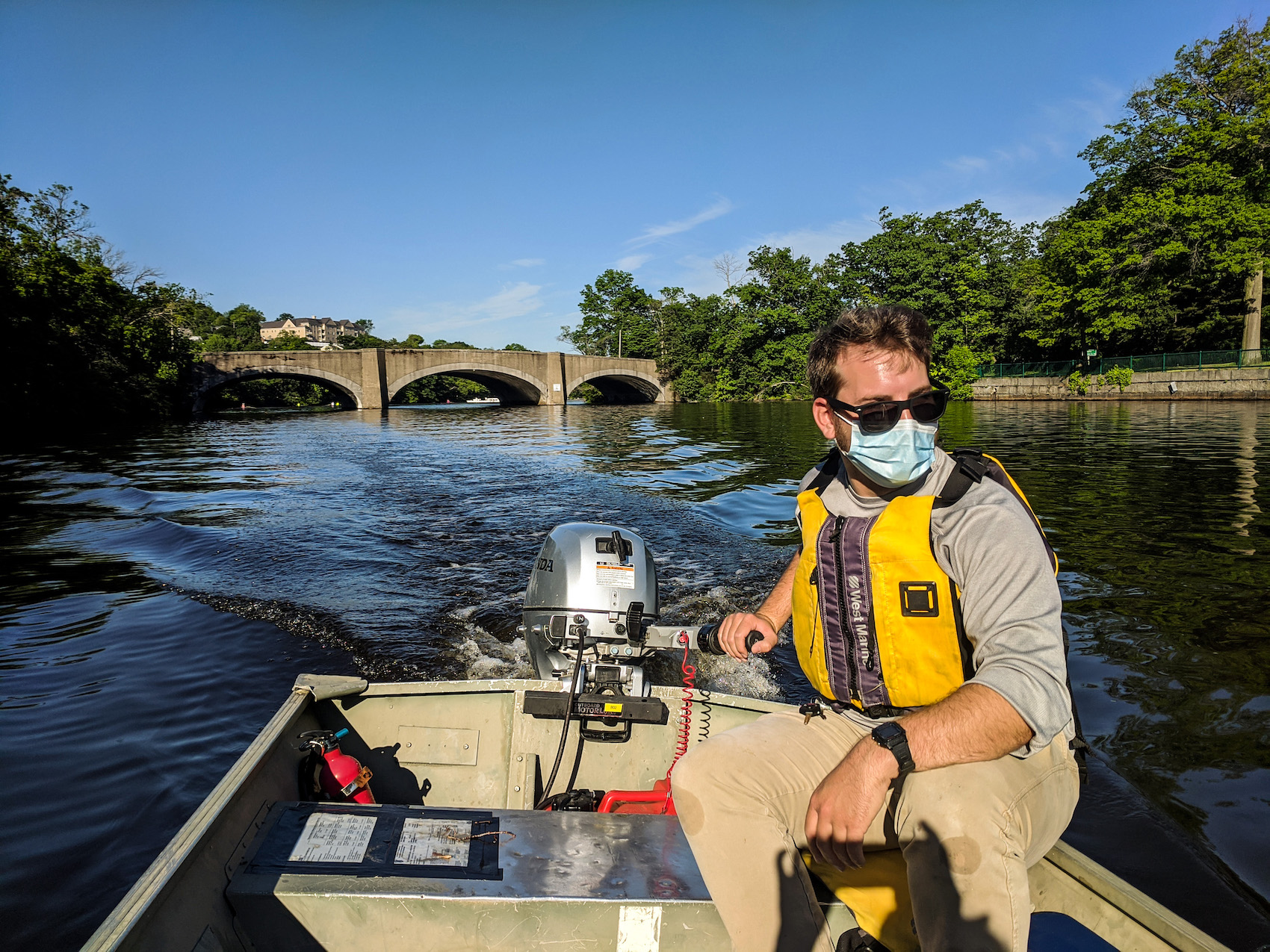
A Charles River Watershed Association Flagging Program volunteer out testing. Source: Charles River Watershed Association
Just under 40% of Belmont’s land is covered with impervious surfaces. Impervious cover is all the structures that do not absorb water in our human-altered landscape, including roads, parking lots, highways, and roofs. Impervious surfaces reduce the infiltration of water into the ground, contributing to more stormwater runoff, greater sediment yields, and increased pollutant loads, all of which can degrade water quality. Our impervious landscapes are proving to be less resilient in extreme weather.
A few hundred years before colonization and industrialization, the journey of that drop of water would have been very different. Instead of a fast-track ticket to the Charles or the Mystic during heavy rainfall events, that raindrop would trickle through the forest floor of our woodlands, and be filtered by soils and cleaned by trees, slowly purified before making its way deep in the groundwater to the river.
Today, pollutant-laden water gushes untreated through concrete pipes into the Charles and the Mystic, creating big problems. Carrying excess nutrients like nitrogen and phosphorus, harmful E. coli bacteria, and cancer-causing PFAS compounds, untreated stormwater harms our fragile river ecosystems and their surrounding communities.
Stormwater pollution is the leading cause of a cascade of threats to the Charles and Mystic rivers. Excess nutrients spur rapid growth of aquatic invasive species like water chestnuts, Eurasian milfoil, curly-leaf pondweed, brittle naiad, and others. These fast-growing non-native species outcompete native plants, reducing biodiversity, harming water quality, and causing habitat loss.
Excess phosphorus and nitrogen are also responsible for more frequent cyanobacteria blooms. Cyanobacteria, or blue-green algae, can explode into a harmful algal bloom when stormwater pollution and high temperatures combine to create perfect conditions for these naturally occurring bacteria to rapidly reproduce. These blooms are dangerous for humans and pets alike and can cause skin rashes, nausea and vomiting, and serious nerve damage from repeated exposure.
On top of all of this, stormwater can also carry E. coli bacteria when aging combined-sewer systems overflow into rivers during heavy rain. E. coli bacteria can cause infection, gastrointestinal distress, and other serious health problems, making the rivers unsafe for recreation following rainfall from both extreme weather events and typical summer thunderstorms.
That’s where the Charles River Watershed Association (CRWA) comes in. The CRWA is leading the effort to closely monitor water quality and provide the public with live updates on the safety of the river for recreation with the Flagging Program. (The Mystic River Watershed Association issues a daily boating advisory during warmer months — Ed.)
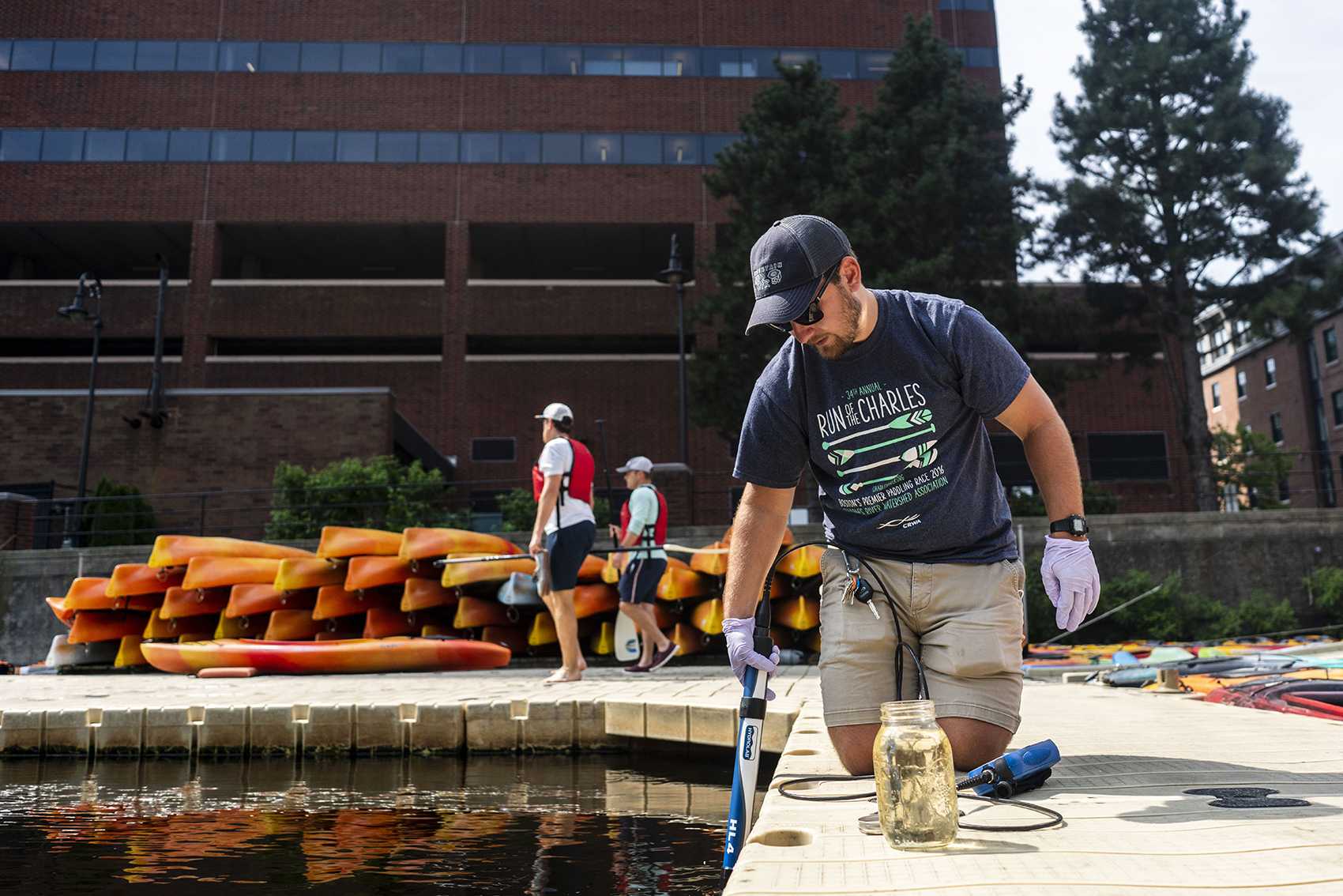
Fieldwork coordinator Andrew Salant and volunteer monitor for Cyanobacteria at Broad Canal in Cambridge. Source: Charles River Watershed Association
Using a color-coded system of flags that indicate how safe the Charles is for swimming and boating at any given time, the Flagging Program is an easy way to ensure you are safe in the Charles River.
Water quality is determined by a combination of factors: a forecast of bacteria levels using a mathematical model, the presence of combined-sewer overflows and cyanobacteria blooms, and water samples taken weekly to verify predictions.
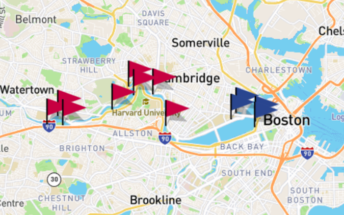
Every Thursday morning from late spring to early fall, alarms go off at dawn and our dedicated team of water quality samplers gear up and head out on the Charles. Departing from the docks of Community Rowing Inc., at sunrise, the team takes water quality samples at four locations in the Lower Basin. From the North Beacon Street Bridge to the Longfellow Bridge, they plunge small containers into the Charles and collect samples that are then shuttled to the lab for testing.
These four measurements provide an accurate picture of water quality for recreation. We can then interpret the data to advise how safe the river is for rowing, paddling, windsurfing, and sailing each day during boating season. These findings are communicated by red and blue flags that fly at our 13 partner boathouses up and down the Charles River, and we provide live notifications online through our Water Quality Alerts newsletter and on our Twitter bot.
Screenshot of the Charles River Watershed Association’s online Flagging Program. Source: CRWA.org
The program helps us watch what is happening in our beloved river and make sure the public is aware of the substantial risks they can face when the Charles is contaminated with stormwater pollution. The hope is that knowing these risks will motivate recreational users and river enthusiasts to take action to help the Charles.
Our watershed is under threat, and if we want to preserve what we love, we have to rethink our relationship with the river and care for its health instead of overwhelming it with pollution. The CRWA uses science, advocacy, and the law to protect, restore, and advocate for our beloved river in the face of climate change. Day in and day out, we make it our mission to turn our research into action and work to restore the Charles River watershed to what it once was: a thriving, healthy ecosystem for all to enjoy.
This encompasses everything from advocating for green stormwater infrastructure and rain gardens to expanding wetland protections and advocating for more preserved open space. The best thing we can do for our watershed is to do our best to support the natural systems that are already in place, and restore our environment when we can, to right the harm we have caused.
A significant goal of our work is empowering residents of the watershed to be river advocates. This means providing the training and opportunity for individuals to act. We all have a stake in the matter of our collective survival in the face of climate change, and on-the-ground actions can go a long way to help the river.
Every action, no matter how big or small, has a chance to help the river and its ecosystem. From picking up litter along your walk to learning how to identify and pull invasive species, to planting rain gardens to manage the stormwater runoff on your own property, you have the power to help us change our relationship with our watershed and protect the river we all love and enjoy.
Julia Hopkins is communications and outreach manager and Lisa Kumpf is river science program manager with the Charles River Watershed Association.

Sorry, the comment form is closed at this time.